Historic winters can bring epic floods around the Great Lakes. Here's this year's forecast.
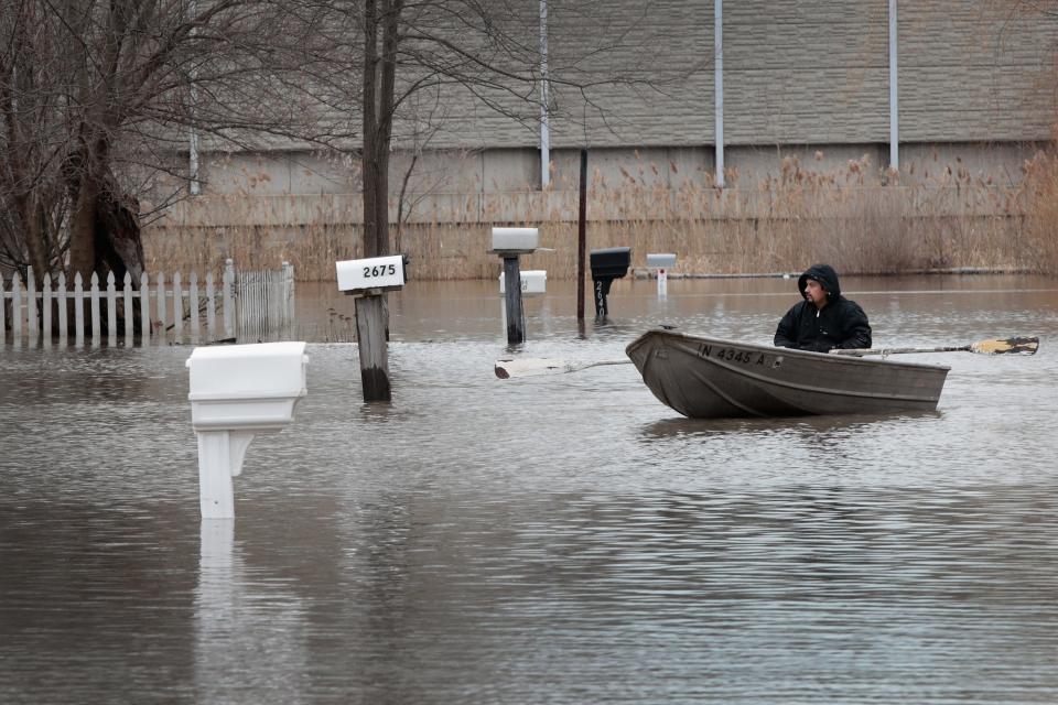
Experts are concerned after a wet winter, with little relief in sight this rainy season, as the five Great Lakes continue to see an uptick in water levels.
All the lakes remain above their April long-term average levels, according to the U.S. Army Corps of Engineers' weekly forecast.
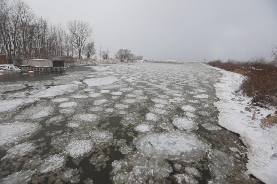
The Weather Network, a Canadian broadcasting company, reported Monday that the most overfilled lake is Erie — the shallowest of the five Great Lakes — which has a nearly 16 inch surplus of water. Erie typically freezes over the quickest and has the most ice cover because it's shallow, but there was no ice at all last month, according to the Akron Beacon Journal, part of USA TODAY network.
Lake Erie's water level rose to record highs in 2019 and 2020, damaging property and interfering with recreation before beginning a decline that continued into 2022, the Erie Times-News reported. In February, meteorologists projected that Lake Erie's water level wouldn't break any more monthly records this year but did expect higher than average for the first six months.
Lake Michigan and Lake Huron are considered one lake for Army Corps forecasting purposes because the lakes are connected at the Straits of Mackinac and rise and fall together.
Two important indicators of weather and climate change affecting the planet’s largest group of freshwater lakes – Lake Superior, Lake Michigan, Lake Huron, Lake Erie and Lake Ontario – are water levels and water temperatures.
Rising water temperatures can encourage more invasive species and the growth of certain waterborne bacteria that can make people ill, according to the United States Environmental Protection Agency (EPA).
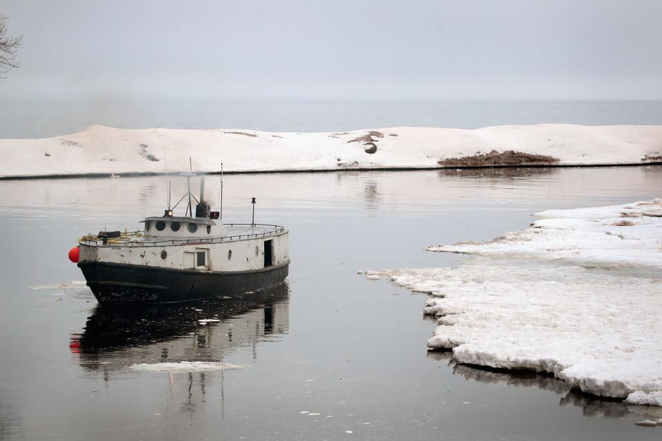
The Great Lakes and their interconnecting rivers contain 20% of the world’s fresh water and 95% of the freshwater in the United States, the EPA said. Every Great Lake was virtually ice-free in mid-March — a problem for neighboring states and Canada, which depend on the lakes for drinking water, shipping lanes, fisheries, recreation and more.
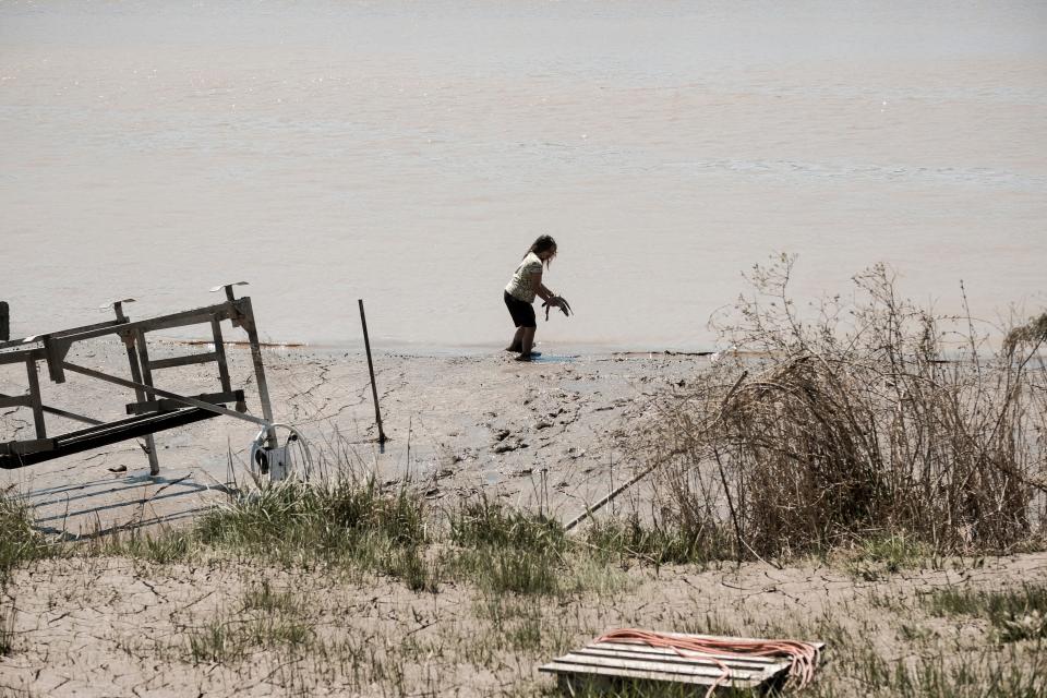
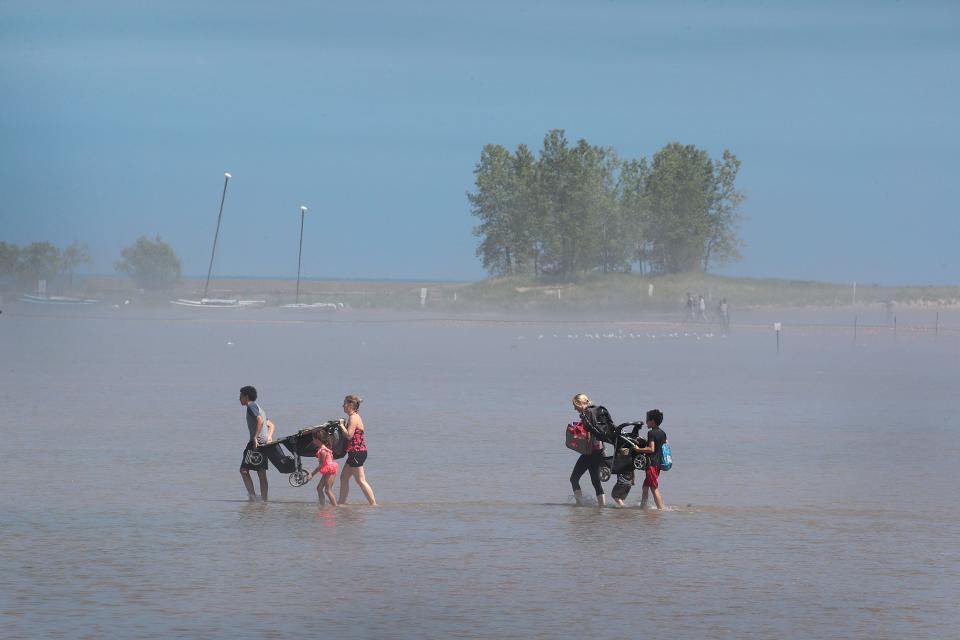
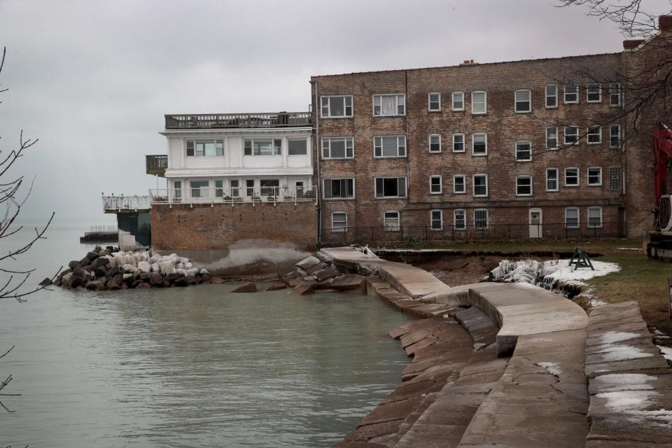
Extreme fluctuation in water levels over the last decade has eroded public beaches, washed away sand dunes and bluffs, and damaged infrastructure, a 2020 article published in the American Institute of Physics said.
Projected forecast
Over the next 30 days, levels on Lakes Superior, Michigan-Huron, St. Clair and Erie are projected to rise one to three inches. Lake Ontario is projected to climb seven inches by May 21.
As of Tuesday, two NOAA weather gauges in the Great Lakes region observed minor flooding while 11 gauges observed near flood stage.
Earlier this month, two groups based in the province of Ontario issued flood warnings for several rivers and watershed lakes in their areas, with flooding imminent or already occurring in some locations, the Canadian Broadcasting Corporation reported.
It's a reminder of what occurred last spring, when residents near the border of Minnesota and Ontario faced deadly floods caused by heavy snowpack melts and torrential rains, which led to record-high lake levels, according to the Minnesota Department of Natural Resources.
Lake Ontario has had significant shoreline erosion and flooding caused by record-breaking water levels this year, the Weather Network reported. If temperatures rapidly increase, flooding from snowmelt could soon be an issue.
The Army Corps advises visitors of the Great Lakes or a connecting channel to track conditions before their visit.
You can track flood updates through the National Weather Service website.
Great Lakes flooding, impact
More coverage from USA TODAY
Using AI, researchers have created a new tsunami warning system
Where are America's most toxic watersheds that harm human health and the environment?
This article originally appeared on USA TODAY: Every Great Lake is overfilled following historic winter storms

 Yahoo Autos